How was this generated?
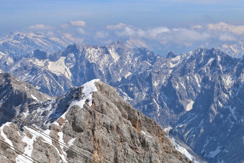
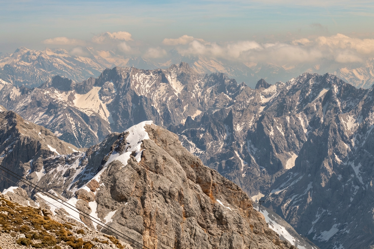
A high-altitude photograph capturing a vast, rugged mountain range with numerous jagged peaks and deep valleys. The foreground features a prominent rocky ridge with patches of snow and ice, along with visible cable car lines. The background shows a succession of snow-dusted mountains fading into a hazy blue sky with scattered clouds.
Layer 1 - Scene anchor: Edit this exact mountain scene for year 2150, preserving season (summer) and time-of-day (midday) cues while showing a plausible everyday baseline. This is a photograph of a real place. Use a chronic everyday-life framing: this should look like a normal day under long-term changed baseline conditions. Keep all buildings, roads, infrastructure, signage, and the camera angle exactly as they are. Do not add, remove, or reshape structures. Only introduce effects that are directly visible in a single photo: water levels, wetness, vegetation stress, haze, storm runoff, smoke, or surface condition changes. Layer 2 - Direct climate impacts: Transform the environment, weather, sky, lighting, vegetation, water levels, and ground surfaces to realistically depict: The light feels warmer and harsher, with a slight heat haze softening distant detail. Vegetation looks mildly stressed and less lush than usual. The open landscape offers no shade from the unrelenting sun. Layer 3 - Secondary cascading impacts: Keep secondary impacts subtle and physically coherent with the direct impacts. Layer 4 - Uncertainty framing: Some signals have lower confidence (Extreme Heat). Keep those effects subtle, localized, and non-absolute. Make the changes visible but plausible for the year 2050, not like a disaster movie or a post-apocalyptic scene. Do not add text, watermarks, or overlay graphics.