How was this generated?
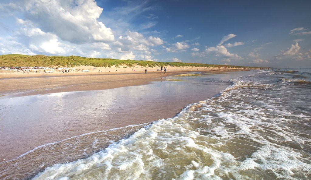
This coastal photograph captures a wide, sandy beach at the edge of the ocean under a partly cloudy sky. Low, grassy dunes line the background, while gentle waves create a foamy shoreline and reflective wet sand in the foreground, with a few distant figures walking along the water's edge. ```json
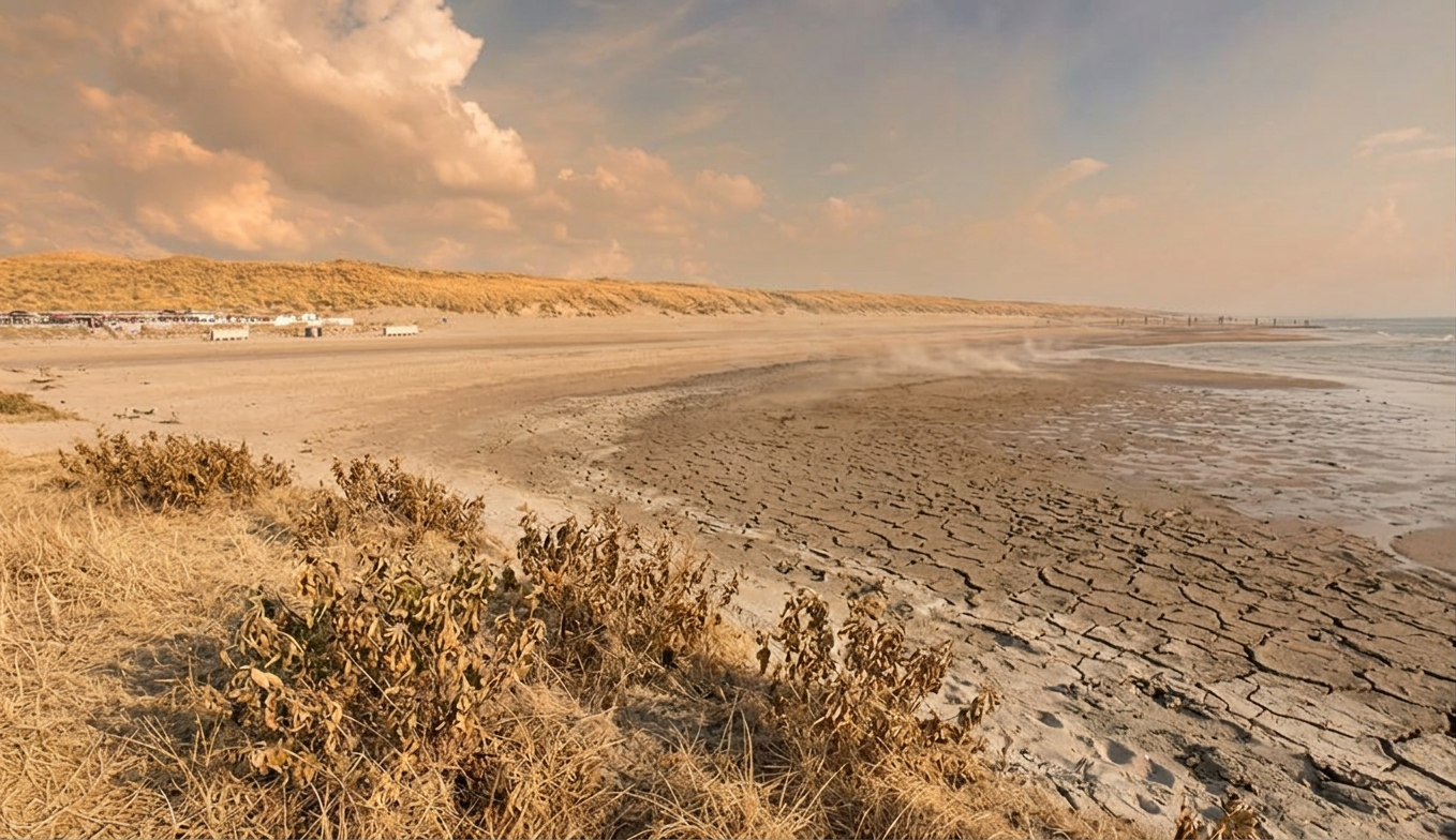
Smoke from a nearby fire event drifts into the scene, lowering contrast and tinting the light warm. Fine ash has begun settling on exposed surfaces. Open ground looks dry and hardened, and vegetation shows visible heat stress with browning edges and drooping leaves. A noticeable heat haze shimmers over dark paved surfaces. The sea air offers no relief — the beach is deserted and the sand glares white in the relentless sun. What was once green lawn has turned a uniform straw-yellow, crunching dry. The open landscape offers no shade from the unrelenting sun. Dry conditions are evident in cracked soil patches, faded planting, and reduced water levels. Shrubs and lawn areas appear stressed and patchy under a pale, dry sky. The shoreline has receded, exposing dry cracked mudflats where water once lapped. The grass is entirely dead — a carpet of pale, dry straw. Visible water features — ponds, fountains, channels — are nearly empty, their beds cracked and exposed.