How was this generated?
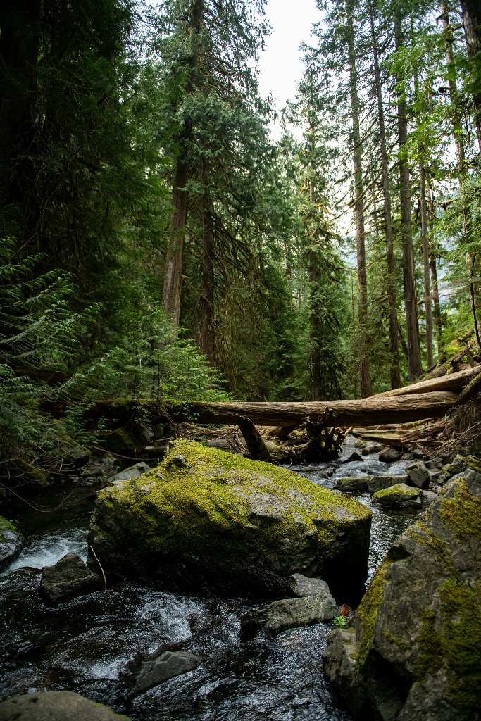
A dense, old-growth forest scene shows a clear, rocky stream flowing over moss-covered boulders. A large fallen log bridges the creek in the mid-ground, surrounded by towering evergreen trees under an overcast sky. ```json
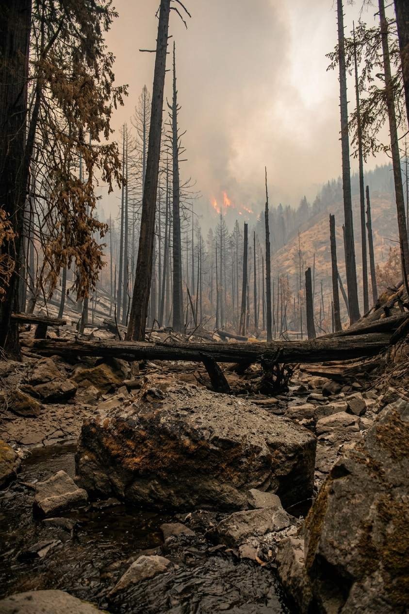
Wildfire impacts are severe, with charred vegetation, heavy ash deposition, and dense smoke drastically reducing visibility while active flames remain visible in the distance. Surrounding hillsides show patches of scorched brown, and the air is thick with haze. Through the haze, the treeline shows patches where fire has stripped foliage to bare blackened trunks. Open ground looks dry and hardened, and vegetation shows visible heat stress with browning edges and drooping leaves. A noticeable heat haze shimmers over dark paved surfaces. Open fields are baked dry, crops are visibly stressed, and the earth is hard-packed and pale. The tree canopy droops heavily, leaves curling inward from the heat. The open landscape offers no shade from the unrelenting sun. Dry conditions are evident in cracked soil patches, faded planting, and reduced water levels. Shrubs and lawn areas appear stressed and patchy under a pale, dry sky. Farmland stretches out parched and cracked, irrigation channels run dry. Many trees show brown, dying branches and thinning canopy. Visible water features — ponds, fountains, channels — are nearly empty, their beds cracked and exposed.